
Late August heat wave hits
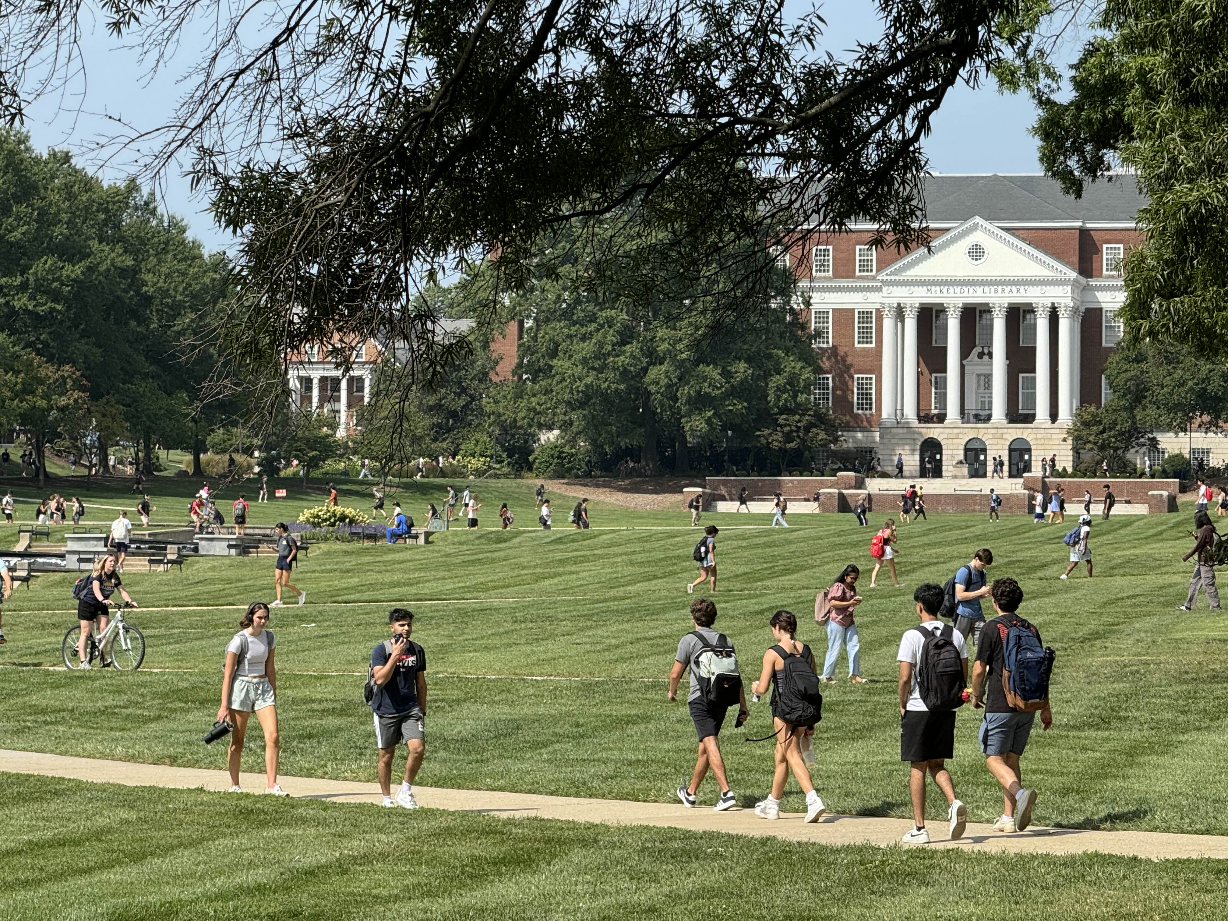
Students walk on McKeldin Mall at the University of Maryland—College Park at 10:57 a.m. on Wednesday, Aug. 28. ZFJ/Alvin Wu
COLLEGE PARK, Md., Aug. 28 (ZFJ) — A heat wave has been descending on America on Wednesday, Aug. 28, placing over 77 million people under excessive heat warnings and heat advisories.
High temperatures are forecast to be 10-15 degrees above average for much of the Central to Southern Plains, east into the Mississippi Valley, Ohio Valley, Southeast, and Mid-Atlantic, wrote the National Weather Service’s Weather Prediction Center in a short range public discussion.
The combination of the temperatures far above average and continued high humidity levels will result in maximum heat indices today and tomorrow, Thursday, Aug. 29, in the 105-110+ F range, producing major to extreme heat risks stretching from the Ohio and Tennessee Valleys to the Mid-Atlantic.
Relief for the Mid-Atlantic region will come Thursday night when a cold front pressing out of the Upper Great Lakes southeastward finally arrives.
Active thunderstorms, heavy rains, flash flooding, and severe weather are possible over large portions of the north central to east central United States.
The predicted high temperature of College Park, Maryland, on Aug. 28 is 100 F.
The predicted high temperature of Edison, New Jersey, on Aug. 28 is 95 F.
References
- National Weather Service - 1951Z Aug 27, 2024 Short Range Public Discussion - https://www.zfjnews.com/2024/science-and-technology/1951Z%20Aug%2027,%202024%20WPC's%20Short%20Range%20Public%20Discussion.pdf